
What to do · Cambrian Mountains
Climbing Plynlimon
A guide to Pumlumon Fawr, Mid Wales' highest mountain at 2,468 feet, with routes from Eisteddfa Gurig, Dyffryn Castell and Nant-y-Moch.
Part of Cambrian Mountains · a guide to climbing Pumlumon Fawr.
Cambrian MountainsGuide
Climbing Pumlumon Fawr
Pumlumon Fawr, at 2,468 feet (752m), is Mid Wales' highest mountain. In 1962, the great compiler of routes on British peaks, W.A. Poucher, described one of the ascents of Pumlumon as follows:
"There is absolutely nothing to relieve the monotony of the landscape on this route: no trees to break the skyline, no colourful flowers to carpet the wayside, no birds to charm both ear and eye, just the green and brown of grass and bog."
Mr Poucher may be correct that Pumlumon Fawr can't offer the finest of mountain experiences, but the absence of fellow walkers and the almost trackless ascent of Pumlumon is a delight, and a chance to truly escape the modern world.
Obviously, since there are no clearly marked routes on Pumlumon, you should always ensure you carry an OS map (Explorer 213/214), a compass, warm clothes, and you or your walking companions should have good navigational skills if you're not familiar with these mountains. However, there are few technical difficulties, so as long as precautions are taken, these hills are perfectly safe.
The route from Eisteddfa Gurig
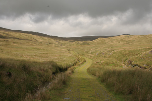
The easiest ascent of Pumlumon Fawr is from the highest point on the A44 at Eisteddfa Gurig (grid reference 796841). There's parking here for a fee, or the Llanidloes to Aberystwyth bus can drop you here. Pass through the farm and exit through the gate, currently clearly signed "All footpaths". Continue along the disused mine track. After a short distance it swings right and climbs by a small stream to a large disused lead mine. At the lead mine, bear left up the faint ridge. There's a path of sorts and a few very old way marker posts. Further up, cairns will lead you to the summit. If in doubt, continue ascending, bearing very slightly left, and head for the highest ground, as you'll then meet the main ridge connecting Pumlumon Fawr to the peaks on the Plynlimon massif.
The Llanidloes to Aberystwyth bus service can drop you on the A44 for ascents of Pumlumon Fawr. Ask the driver for Eisteddfa Gurig, not all drivers know the name, describe it as the "small hamlet just near the Elvis rock" (the Elvis rock is a well known painted rock by the side of the A44), and ask your driver for approximate return times.
Alternative routes
A longer ascent is from Dyffryn Castell, further along the A44 (grid reference 775817), follow the path from the hotel to the ridge which leads to the summit.
Ascent from Nant-y-Moch
A direct ascent of Pumlumon Fawr is from the end of the minor road by Nant-y-Moch reservoir (grid reference 775880). This is a little visited valley, and offers open access to the Cambrian Mountains and very old routes north to Machynlleth.
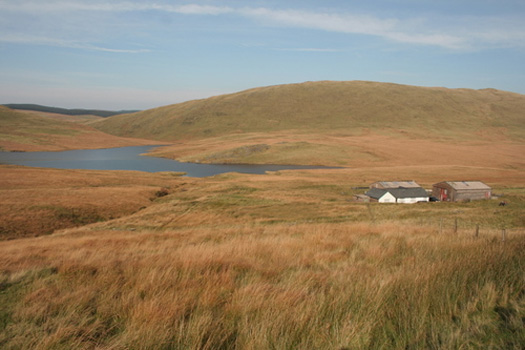
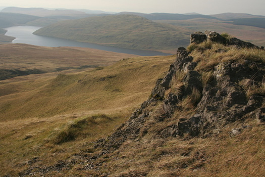
From the end of the minor road, a steep path follows the Maesnant river, bearing south east. Above the 550m contour, bear left over open ground towards the left hand of two peaks, this is Pumlumon Fach. From Pumlumon Fach, head south east then south, skirting the very steep drop towards Llygad Rheidol, which sits north of the summit, to reach the main peak of Pumlumon Fawr. This is a steep ascent, as you'll have climbed 370 metres in a little under 2km.
Plan your visit
Accommodation, Eat & Drink, Shops and Services in Llanidloes


Run a business or organisation in Llanidloes?
Get in touch to find out more about joining the llanidloes.com website.