
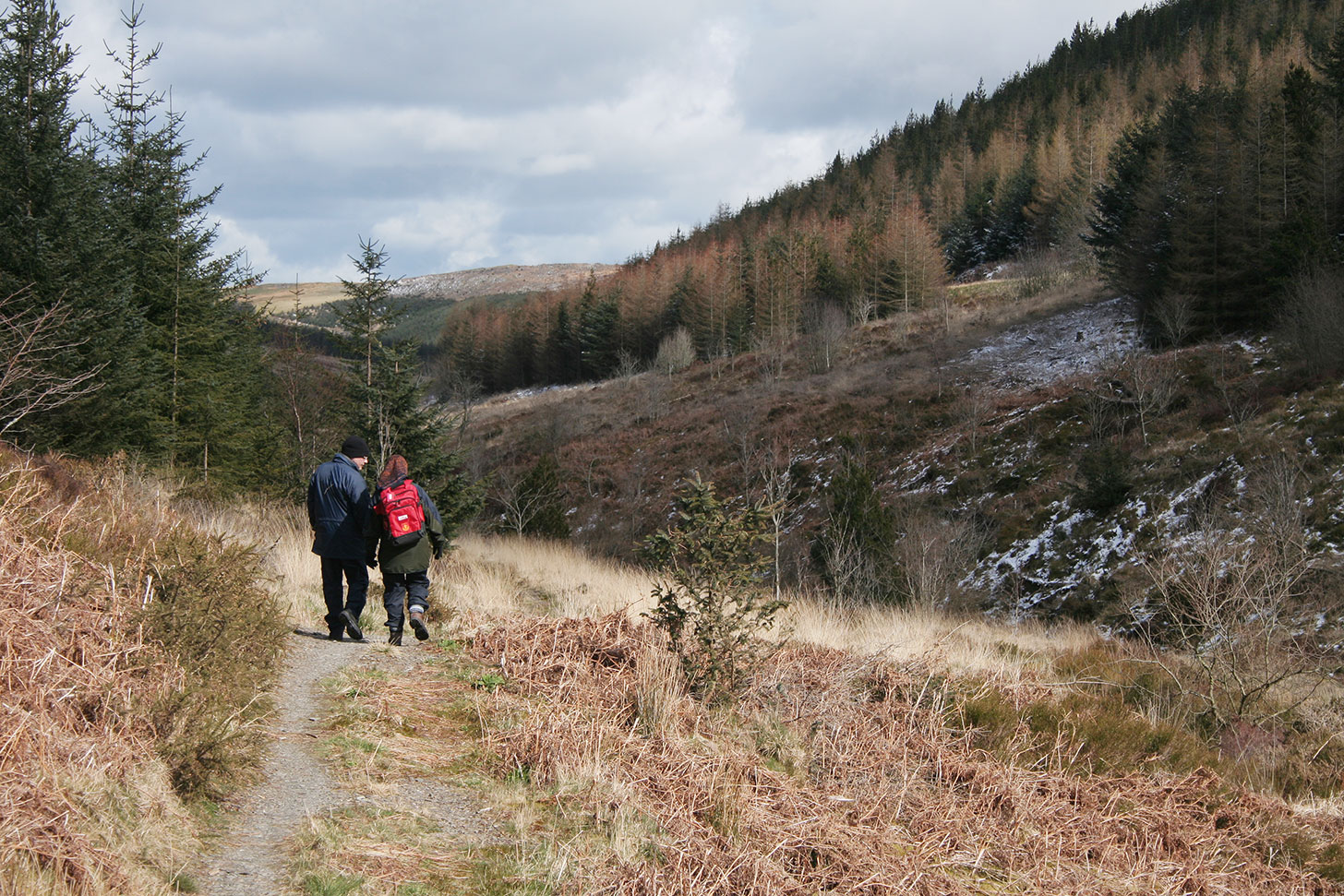
What to do · Walking
Walk Llanidloes
17 downloadable, printer friendly route descriptions and maps to help you make the most out of walking in Mid Wales.
Part of What to do · walking routes around Llanidloes.
What to doAbout
Walk Llanidloes
Welcome to Walk Llanidloes. Here you'll find 17 downloadable and printer friendly route descriptions and maps to help you make the most out of walking in Mid Wales.
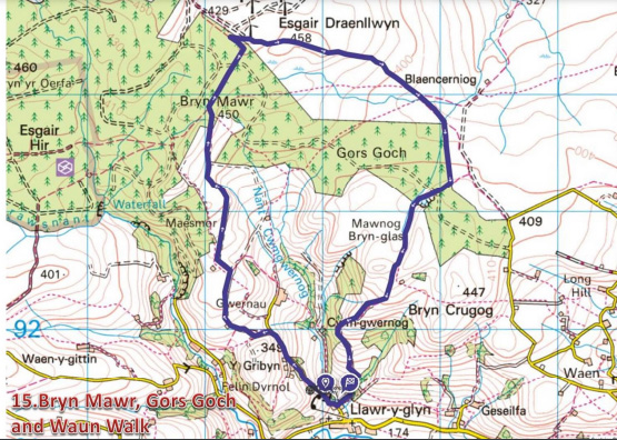
Sarn Sabrina
Based on the Celtic myth of Sabrina, a water nymph said to inhabit the waters of the Severn, this is a 25 mile circular route taking in Llanidloes, Llyn Clywedog and the source of the river high up on the slopes of Plynlimon.
More information on Sarn Sabrina [ready soon]
The OS maps you may need
For walks close to Llanidloes
OS Explorer Map 214, Llanidloes & Newtown Ordnance Survey
OS Landranger Map 136, Newtown & Llanidloes Ordnance Survey
For walks north of Llanidloes towards Machynlleth
OS Explorer Map 215, Newtown & Machynlleth Ordnance Survey
OS Landranger Map 135, Aberystwyth & Machynlleth Ordnance Survey
Walks around Llyn Clywedog
- Clywedog Gorge Trail, around the Bryn Tail mine workings, approximately one mile
- Clywedog Scenic Trail, a 2.5 mile walk along the lakeshore
There are a number of viewing points arranged along the circular drive around the lake that allow visitors to make the most of the wonderful panoramic views. The National Trail of Glyndwr's Way also passes beneath the dam before following a course along the southern shore of the lake, one of its most picturesque stages.
More information on Llyn Clywedog →
Walks in the Hafren Forest
- The Cascades Trail, a half mile walk designed with the cooperation of the local Disabled Association
- The Blaen Hafren Falls Trail, a three mile walk through the heart of the forest
- The Severn Breaks its Neck Trail, one and a half miles long, featuring the first real waterfall on the Severn
- The start, or finish, depending on your point of view, of the Wye Valley Walk
- The Source of the Severn Walk, a seven mile round trip with panoramic views
More information on the Hafren Forest →
Walks on the Cambrian Mountains
- Walks to the Plynlimon massif, the highest mountain in Mid Wales
More information on climbing Plynlimon →
Free Guided Town Walks
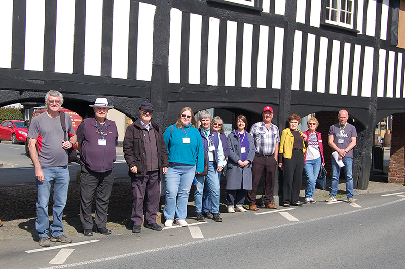
Llanidloes town guides conduct free escorted walks around this historic market town. A group of volunteers have been doing their homework and learning interesting facts about the buildings and people since its beginnings centuries ago.
Further information and times →
Other useful links
Glyndwr's Way (external link) →
Wye Valley Walk (external link) →
The Walking Network
Over thirty separate circular and linear routes have benefited from new way marking, fingerposts, gates and stiles, linking Llanidloes with the surrounding villages of Llangurig, Llandinam and Trefeglwys.
Funded through the Powys County Council administered Community Tourism Capital Grant Scheme.
Village Walks
Five walks which link Llanidloes with some of the surrounding villages.
- Village Link Walk One, Llanidloes to Trefeglwys (PDF)
- Village Link Walk Two, Llanidloes to Llandinam (PDF)
- Village Link Walk Three, Llanidloes to Tylwch (PDF)
- Village Link Walk Four, Llanidloes to Llangurig (PDF)
- Village Link Walk Five, Llanidloes to Llawr y Glyn (PDF)
Plan your visit
Accommodation, Eat & Drink, Shops and Services in Llanidloes

Run a business or organisation in Llanidloes?
Get in touch to find out more about joining the llanidloes.com website.